CUHK
News Centre
The 20th Cross-Strait Urban Geographic Information System Forum Held at CUHK
The Chinese University of Hong Kong (CUHK) and the School of Architecture of Harbin Institute of Technology, Shenzhen (HITSZ) jointly organised the 20th Cross-Strait Urban Geographic Information System (UGIS) Forum on CUHK campus recently. The Forum was hosted by the Institute of Space and Earth Information Science (ISEIS), CUHK. It received great support from the Lands Department of the Hong Kong SAR Government (LDHK) and Kai Tak Cruise Terminal (KTCT).
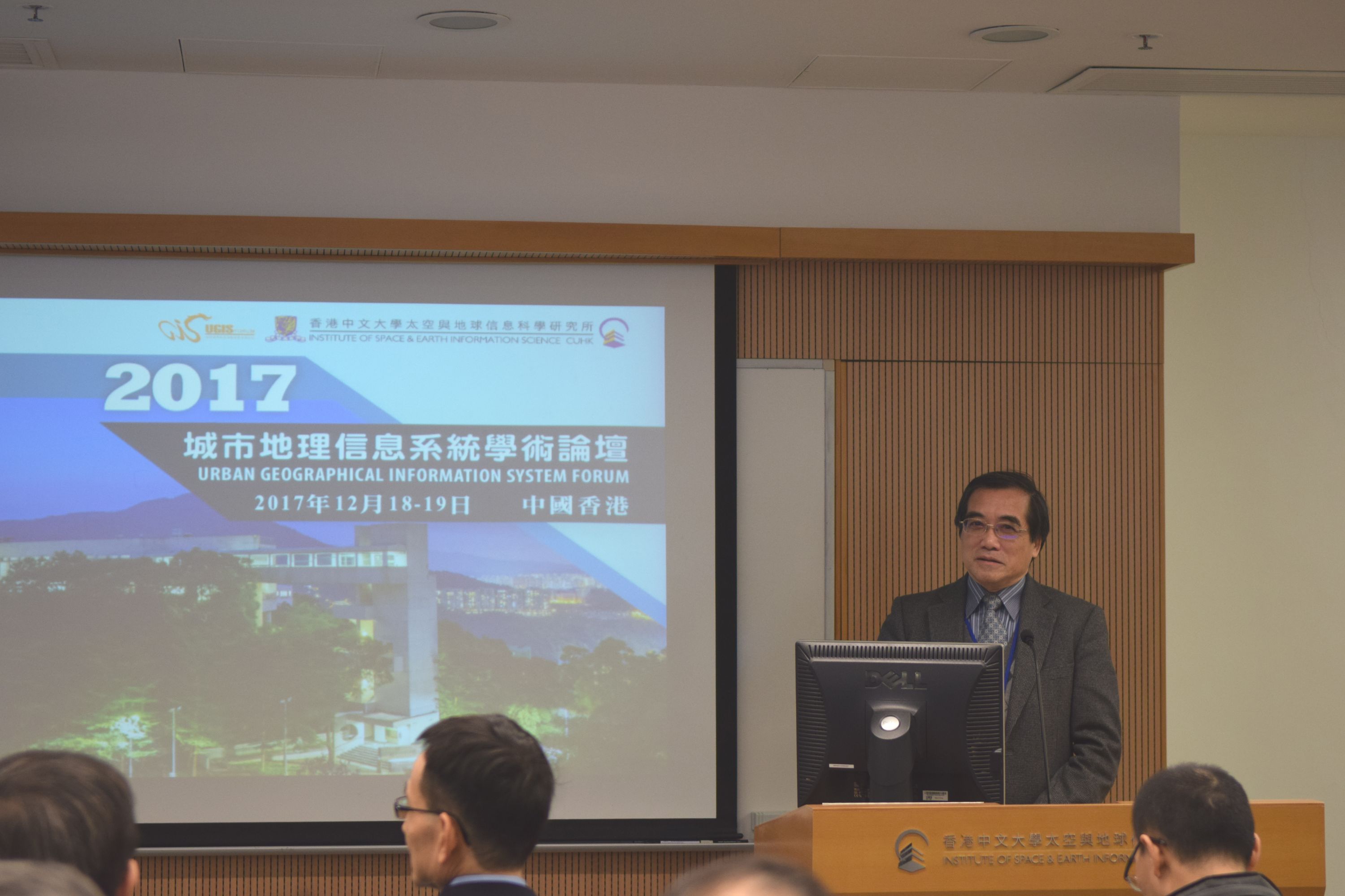
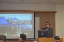
The forum was chaired by Mr. JIAN Fengmin, Chairman of the Shanghai City Planning Industry Association (SCPIA). Welcoming speeches were made by Prof. CHIU Chi Yue, Dean of the Faculty of Social Science, CUHK, Mr. JIANG Miankang, Secretary General of the UGIS Forum and former President of Shanghai Research Institute of Urban and Rural Construction and Traffic Development (SIURCTD), and Prof. LIN Fengtian, National Cheng Kung University, Taiwan (NCKU). Prof. LIN Hui, Director of ISEIS, CUHK, reviewed the 20-year-course of trials and hardship from the beginning of the UGIS Forum and acknowledged the deep concord with and support from all cross-strait colleagues.
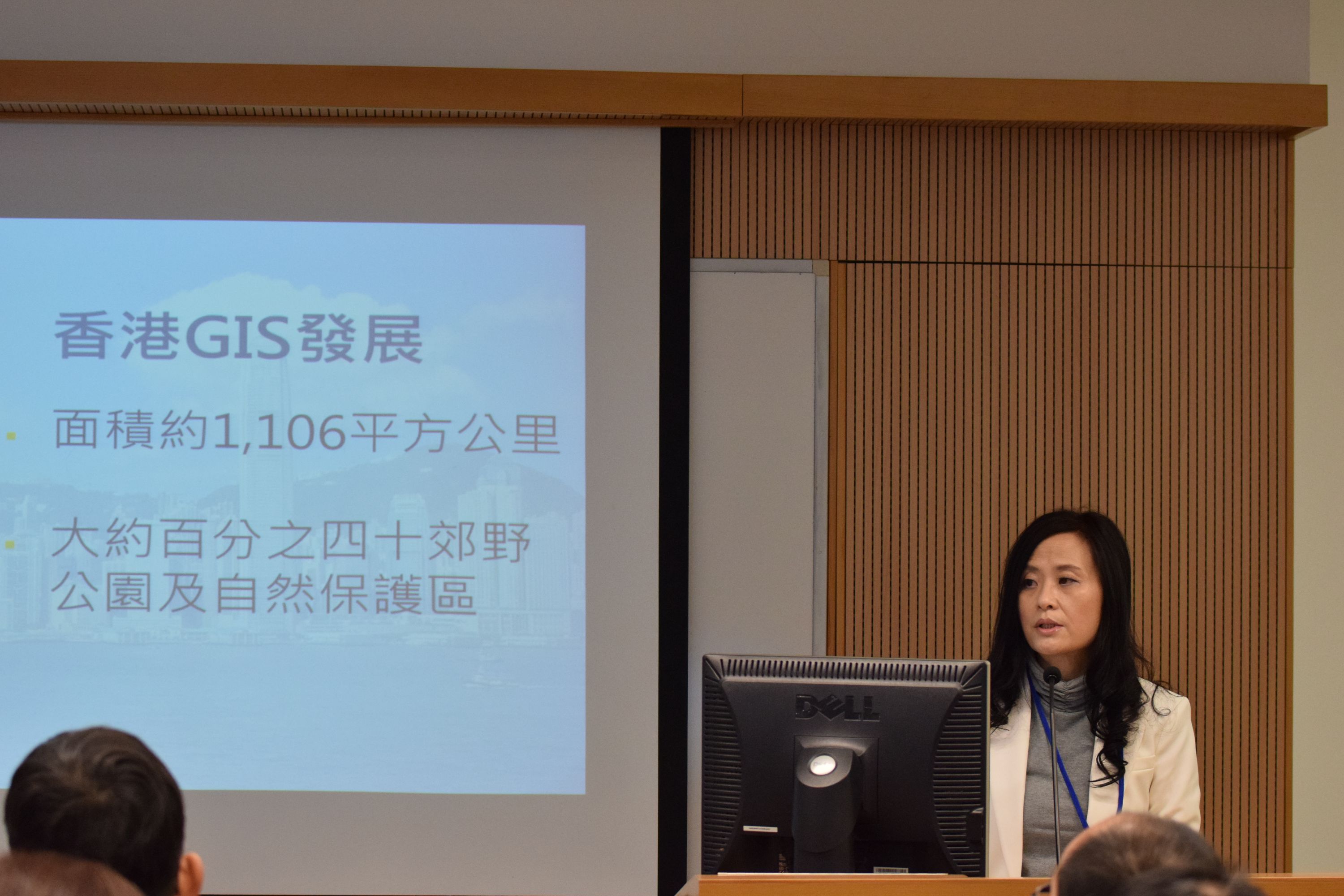
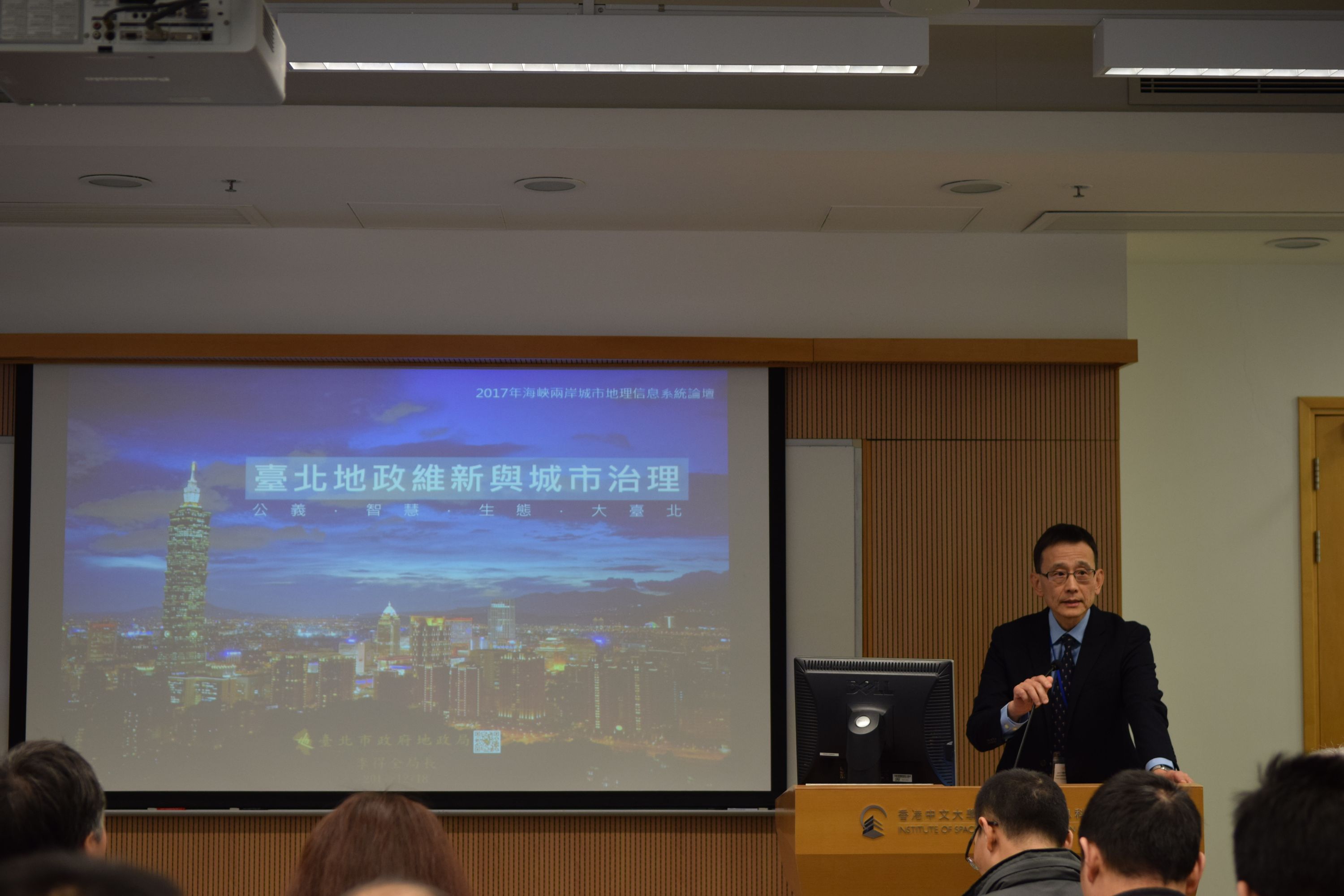
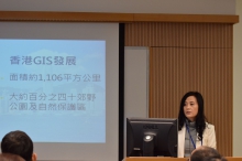
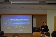
Three keynote speeches were features of the opening ceremony. On behalf of academician GUO Renzhong, Dr. ZHAO Zhigang gave a speech entitled ‘Practice and Development of 3D Cadastre’, introducing the past and present status and future tendency of cadastre management in China. Mr. LI Dequan, Director of the Department of Land Administration, Taipei City Government (DLATP), spoke on ‘Land Database and Metropolis Development’ which illustrated the development of and prospects for GIS in Taipei. Ms. Winnie SHIU, President of the Hong Kong Geographic Information System Association (HKGISA), reviewed the history of GIS development in Hong Kong, and promoted potential cooperation between cross-strait cities in her speech entitled ‘GIS Development in Hong Kong’.
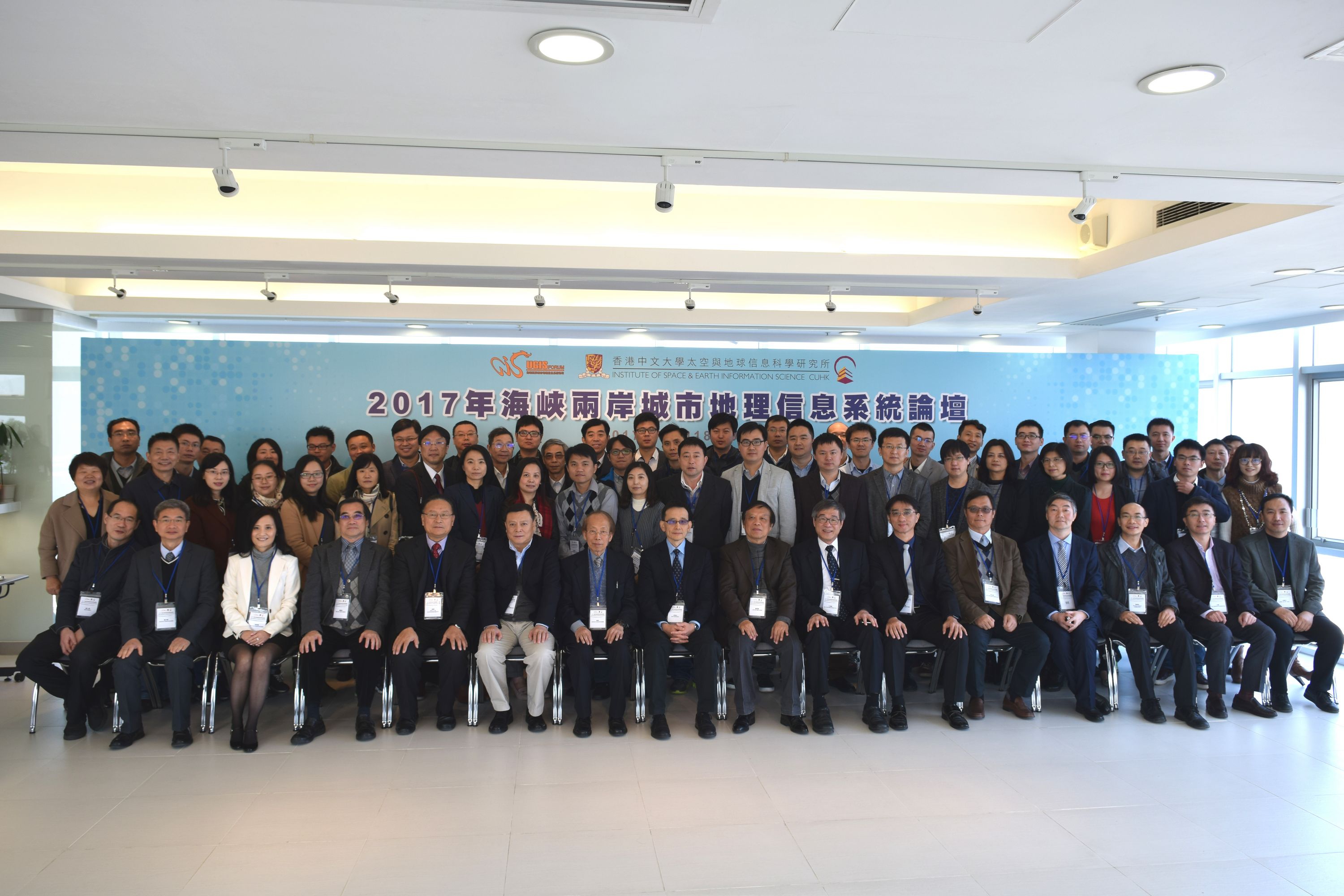
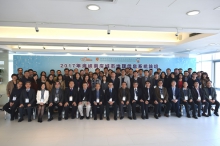
The UGIS 2017 brought together in communication and discussion more than 80 experts from over 20 organisations covering ten cross-strait cities. They discussed and exchanged achievements and experiences under three themes: smart city and its applications, big data and its applications, and urban planning and design management based on GIS. Experts from Shanghai, Taipei and Nanjing demonstrated explorations and experiences in the application and development of smart cities from advanced cities, in the hope of providing helpful reference for smart city development. Experts from Beijing, Shenzhen, Shanghai and Taitung introduced abundant applications of big data in daily life, such as measuring city centrality, dwelling and migration patterns of moderate and low-income citizens, evaluation of public transportation operation performance, as well as improving precision and expertise management in public sectors. In the session on Urban Planning and GIS Application, experts from Shanghai, Taipei, Nanjing and Chongqing introduced many kinds of GIS applications and potentials in the urban planning field, demonstrating the foundation role of GIS in supporting decision-making in 3D space management.
The two-day Forum aimed to promote academic communication and share practical experiences of GIS among cross-strait cities, promote the applications of big data and GIS in interdisciplinary fields, establish communication and exchange among scientists and policy makers to foster cross-strait cooperation, and make contributions to urban expertise management and sustainable development. At the 20th anniversary of UGIS, the Forum Secretariat reorganised the organisational mode and framework for positive development by adhering to the ideal of carrying forward the Forum’s cause and forging ahead into the future.
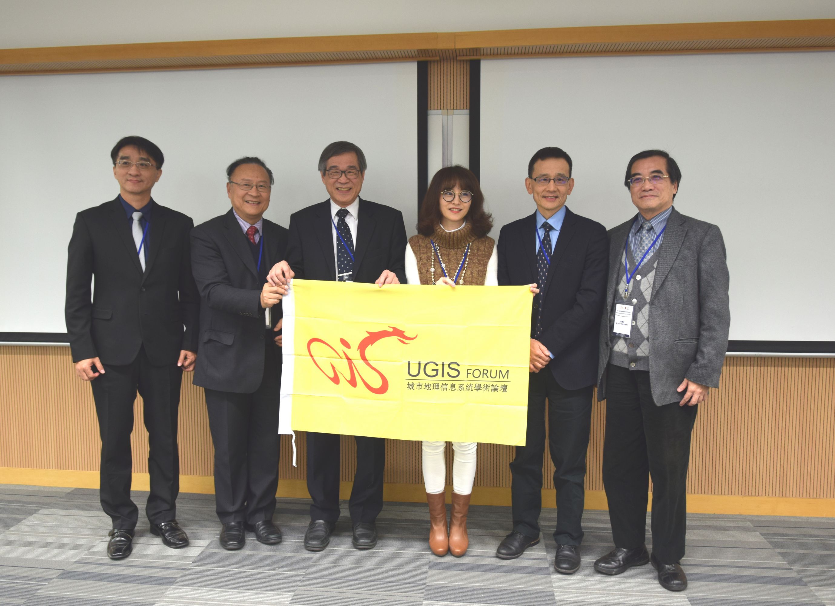
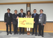
At the closing ceremony, the Forum announced that the 21st UGIS Forum will be held in Taitung, Taiwan and will be hosted by Taiwan Geographic Information Society (TGIS). The Forum also announced that the Forum Secretariat has been changed to the Working Group, with an office in the Smart City Institute, Shenzhen University, and chaired by academician GUO Renzhong. In addition, three Sub-Working Groups have been set up in SIURCTD, TGIS and ISEIS, with Mr. WANG Feng, Prof. CHIANG Hun-chin and Dr. WONG Chun Janice appointed as Vice Group Leaders, respectively.
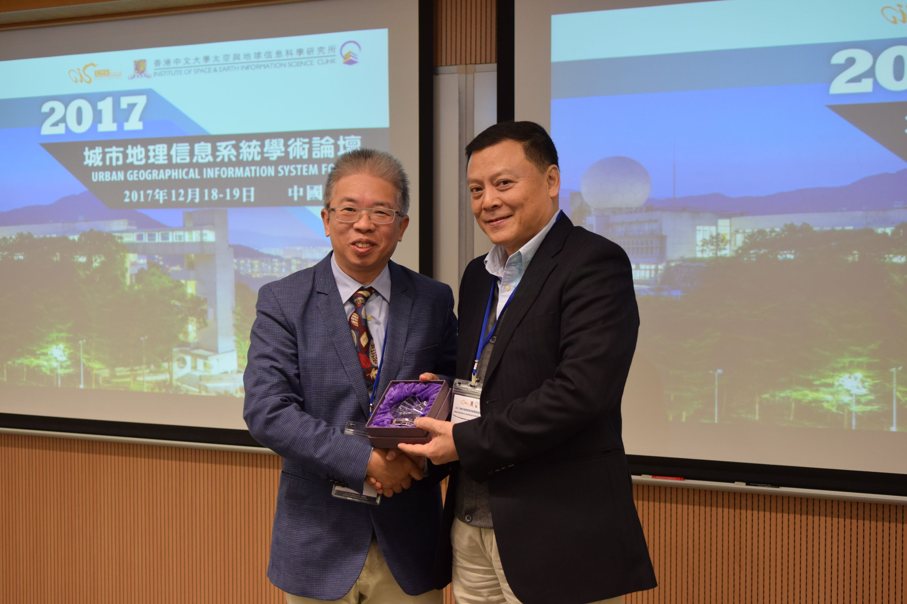
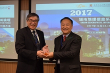
Prof. CHIU Chi Yue, Dean of the Faculty of Social Science, CUHK (left) presents a souvenir to Mr. JIANG Miankang, Secretary General of the UGIS Forum and former President of Shanghai Research Institute of Urban and Rural Construction and Traffic Development.
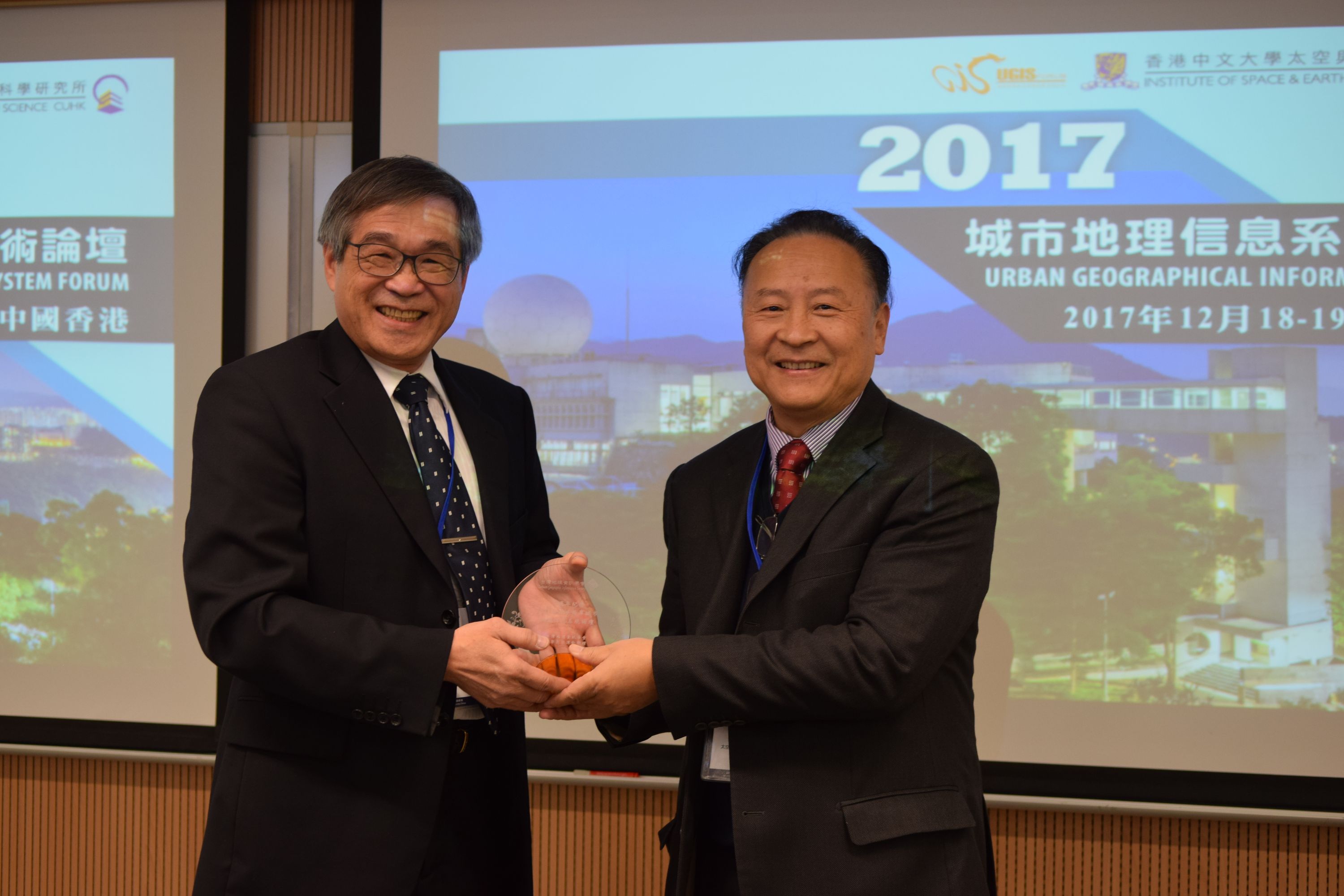
Prof. CHIANG Hun-chin of Taiwan Geographic Information Society (left) presents a souvenir to Prof. LIN Hui, Director of ISEIS, CUHK.
More than 80 experts from over 20 organisations covering ten cross-strait cities attend the UGIS Forum.


