CUHK
News Centre
CUHK Holds International Workshop on Spatial Information Technologies for Monitoring the Deformation of Large-Scale Man-made Linear Features
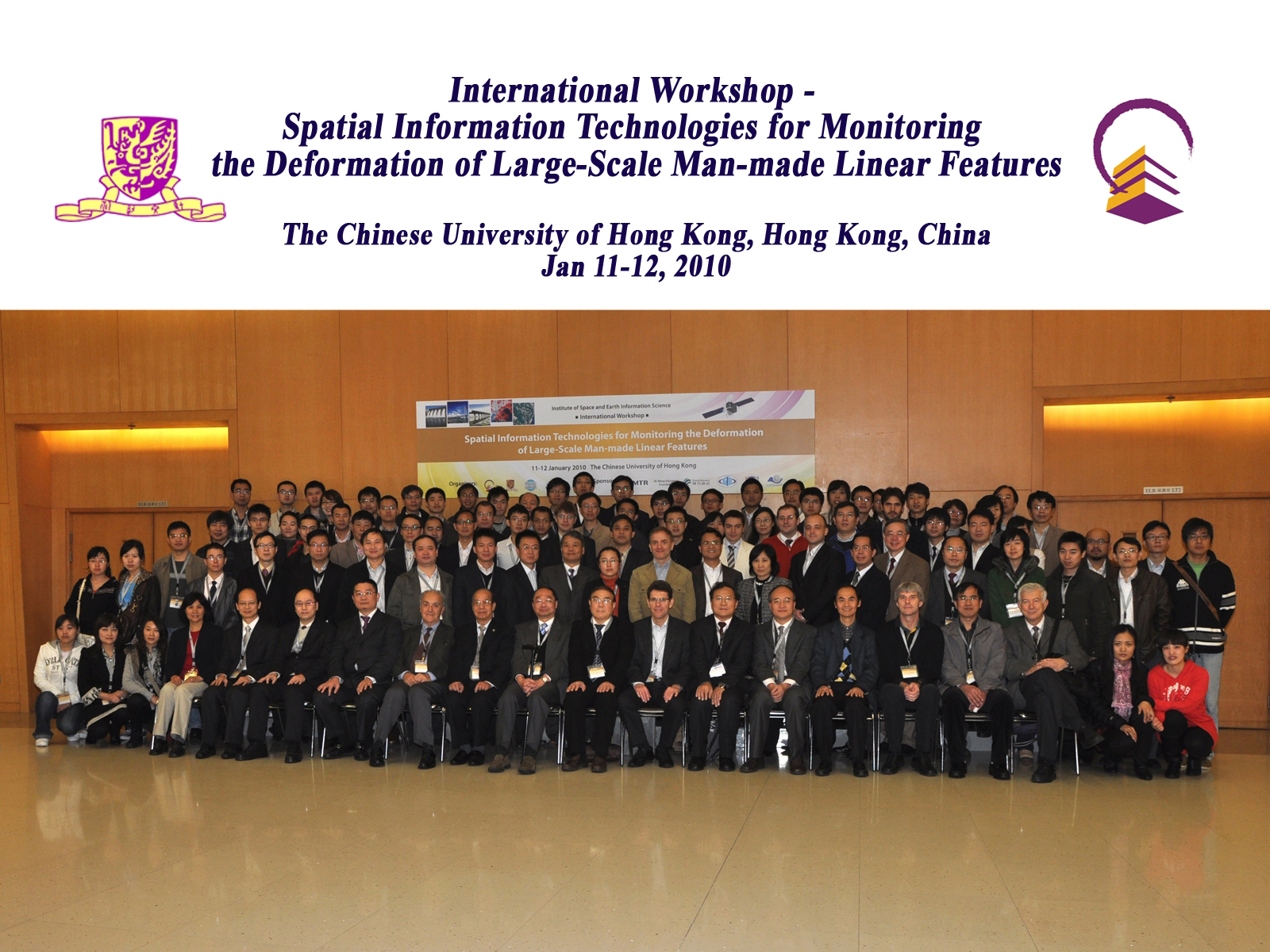
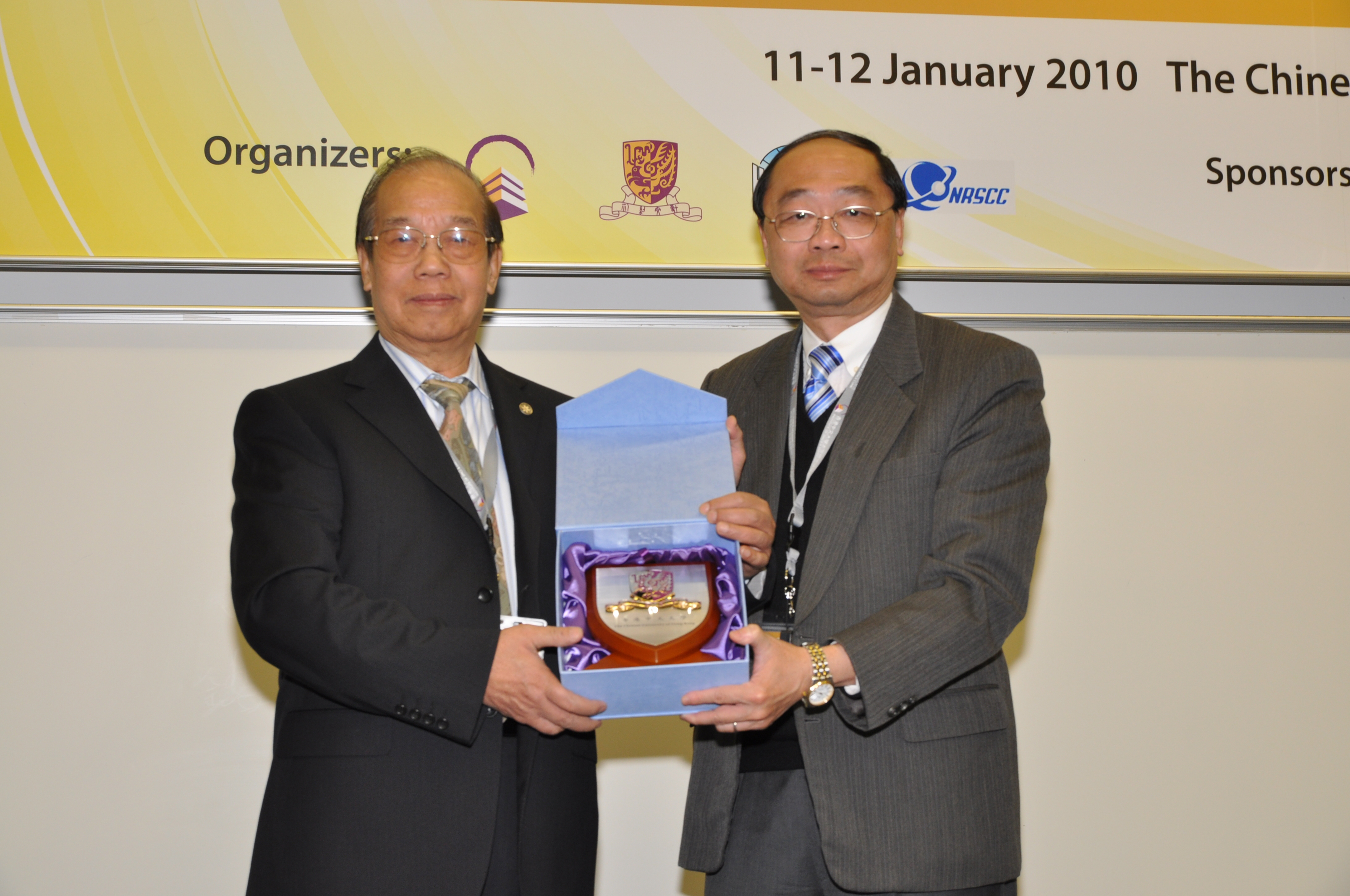
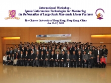
The Institute of Space and Earth Information Science (ISEIS) of The Chinese University of Hong Kong (CUHK) held an International Workshop on Spatial Information Technologies for Monitoring the Deformation of Large-Scale Man-made Linear Features on campus in mid-January. Academician Tong Qingxi, Chairman of Expert Committee of the National Remote Sensing Centre was the honorary guest of the conference. Prof. Lin Hui, Director of ISEIS, officiated at the opening ceremony and Prof. Henry Wong, Pro-Vice-Chancellor of CUHK, gave a welcoming address.
Countries around the world have invested multiple millions of dollars for building various kinds of large-scale man-made linear features, including high-speed railway and highways, large bridges, dams and reservoirs, high-voltage power lines, etc. The high-speed railway network will be rapidly developed in China in the near future. However, due to various geological and environmental issues, structural deformation is a serious threat to those large-scale constructions. Maintenance and protection of these ‘lifelines’ of millions of peoples demand new methods and technologies with improved monitoring accuracy and efficiency. Satellite remote sensing and positioning technologies, including INterferometric Synthetic Aperture Radar (InSAR), Laser Detection and Ranging (LADAR), satellite positioning systems and other related spatial information technologies are now gaining industry’s attention.
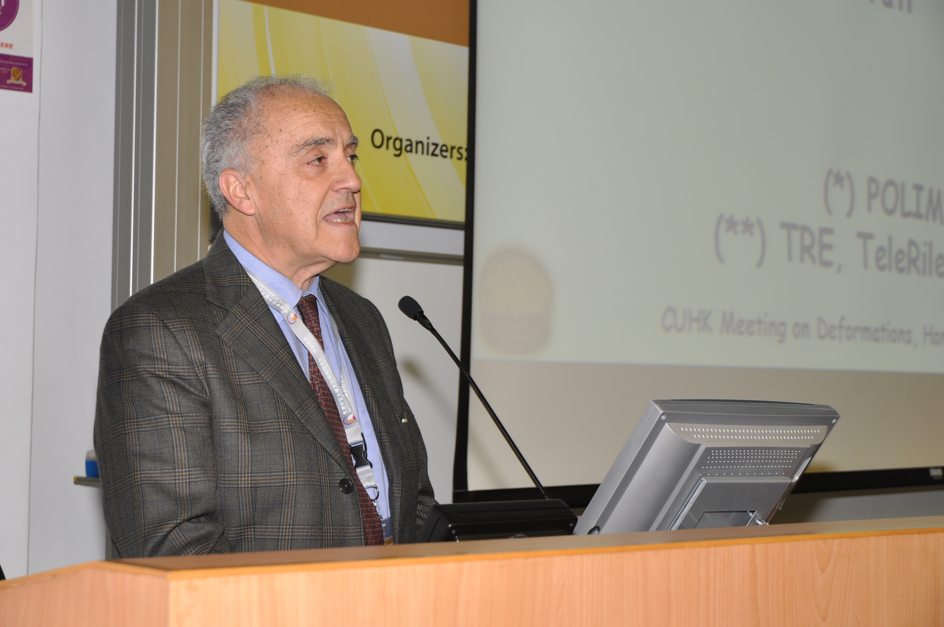
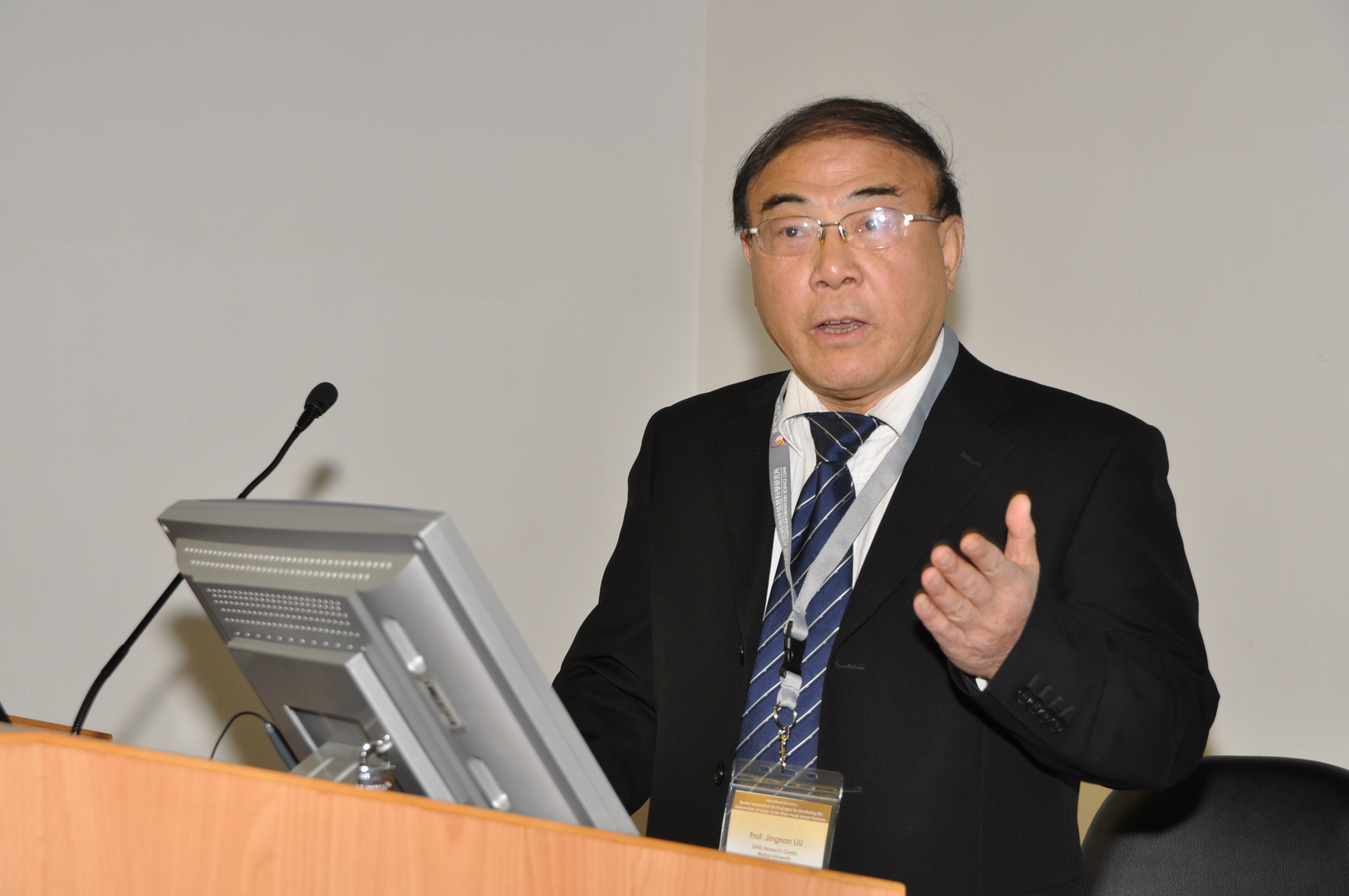
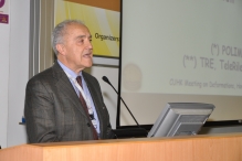
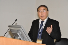
To promote the new technologies, ISEIS held a 2-day International Workshop on Spatial Information Technologies for Monitoring the Deformation of Large-Scale Man-made Linear Features. Experts and scholars from China, the United States, Germany, Italy, Japan, Singapore, France etc were invited to join the workshop and discuss key topics in ‘Recent Advancements in SAR/InSAR Theory and Applications’, ‘Subsidence Measurement at Infrastructure Elements’ and ‘Precise Measurement of Urban Subsidence’. Keynote speeches were given by two leading scientists, Prof. Fabio Rocca of Politecnioc di Milan of Italy and Prof. Academician Liu Jingnan, former President of Wuhan University.
The event was sponsored by MTR Corporation Limited, KC Wong Education Foundation, Beijing Eastdawn Information Technology Inc., International Association of Chinese Professionals in GPS (CPGPS), International Association of Chinese Professionals in GIS (CPGIS), and the State Key Laboratory of Information Engineering in Surveying, Mapping and Remote Sensing (LIESMARS).


