CUHK
News Centre
CUHK Fok Ying Tung Remote Sensing Science Building Officially Opens Today
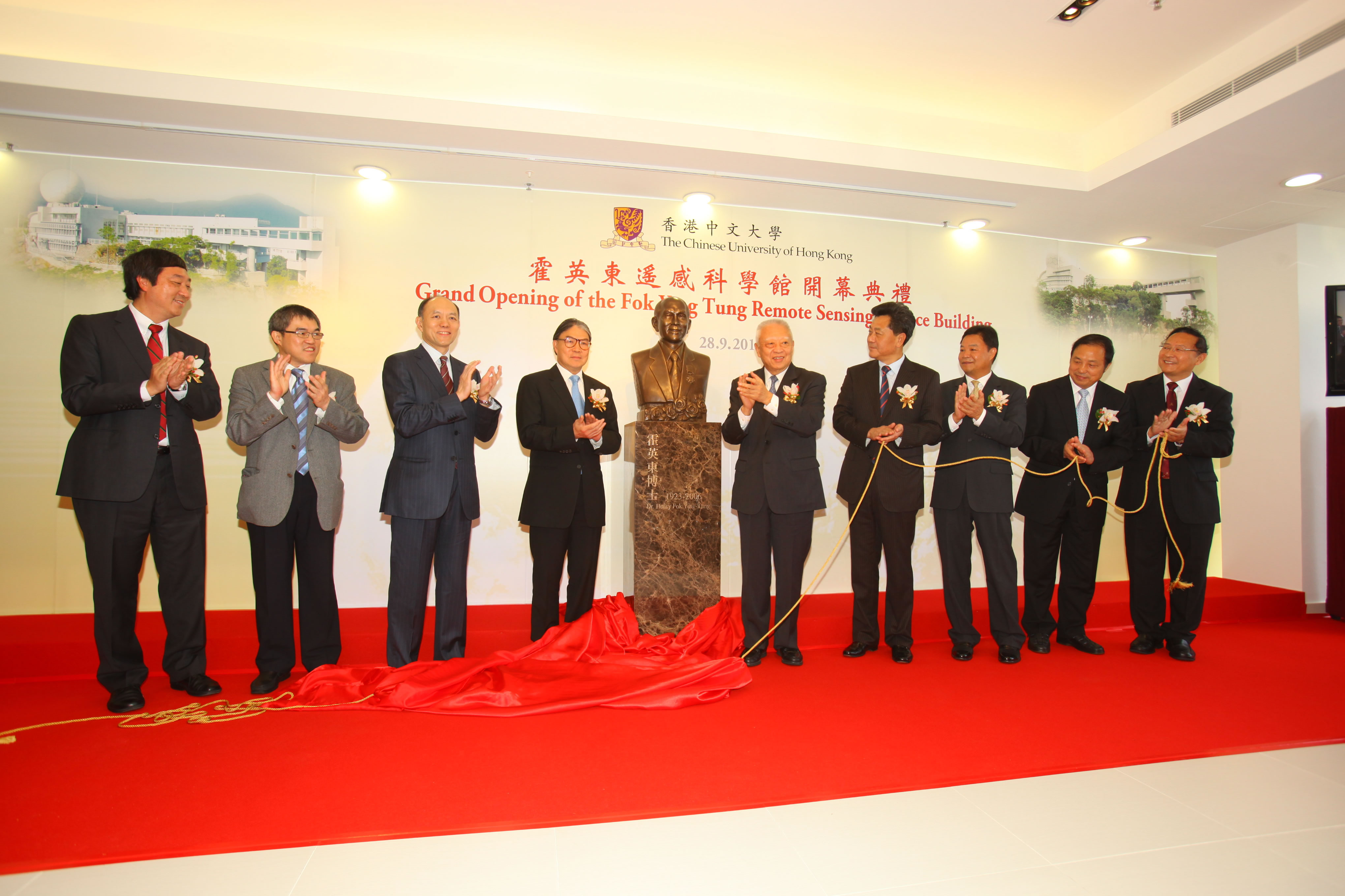
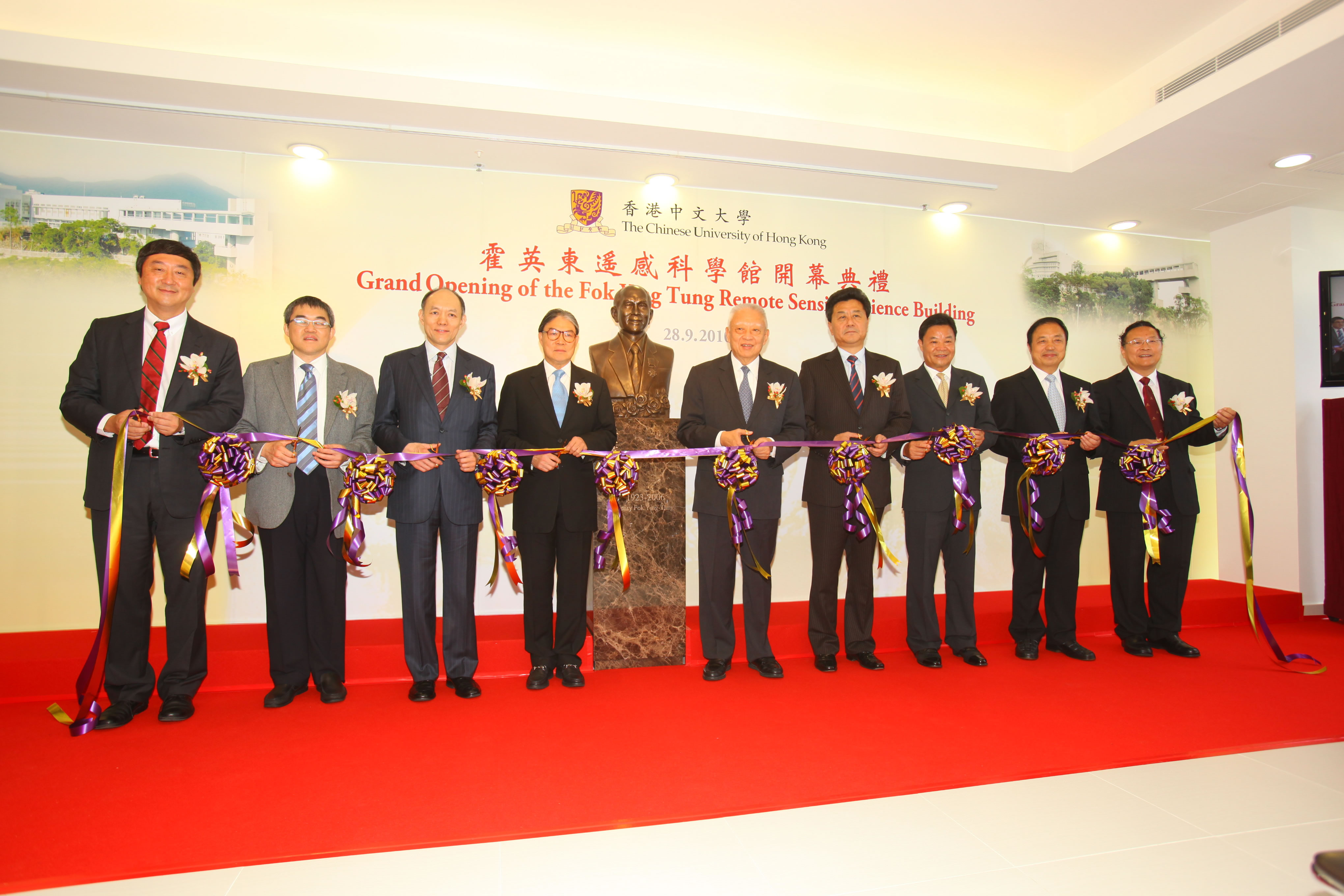
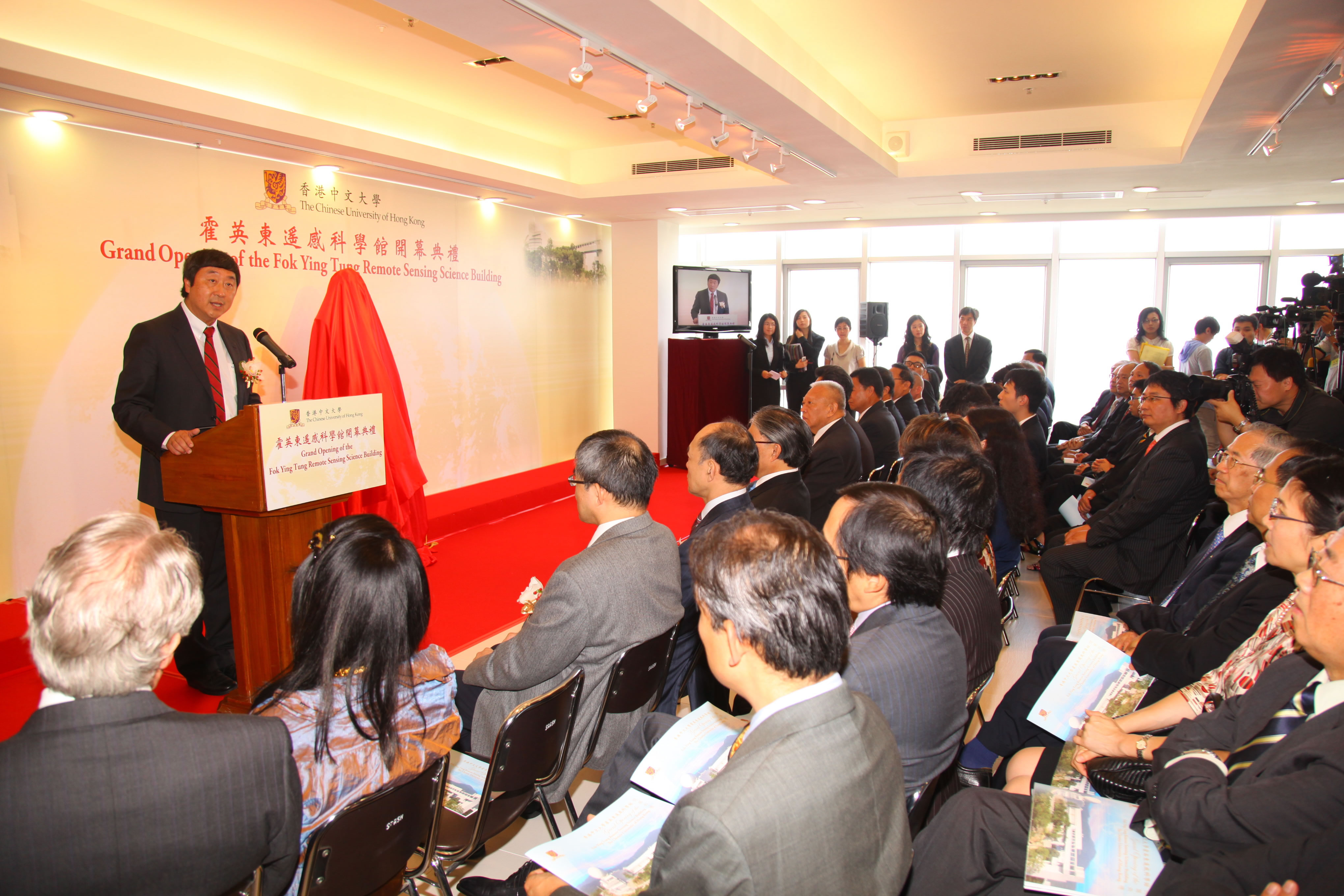
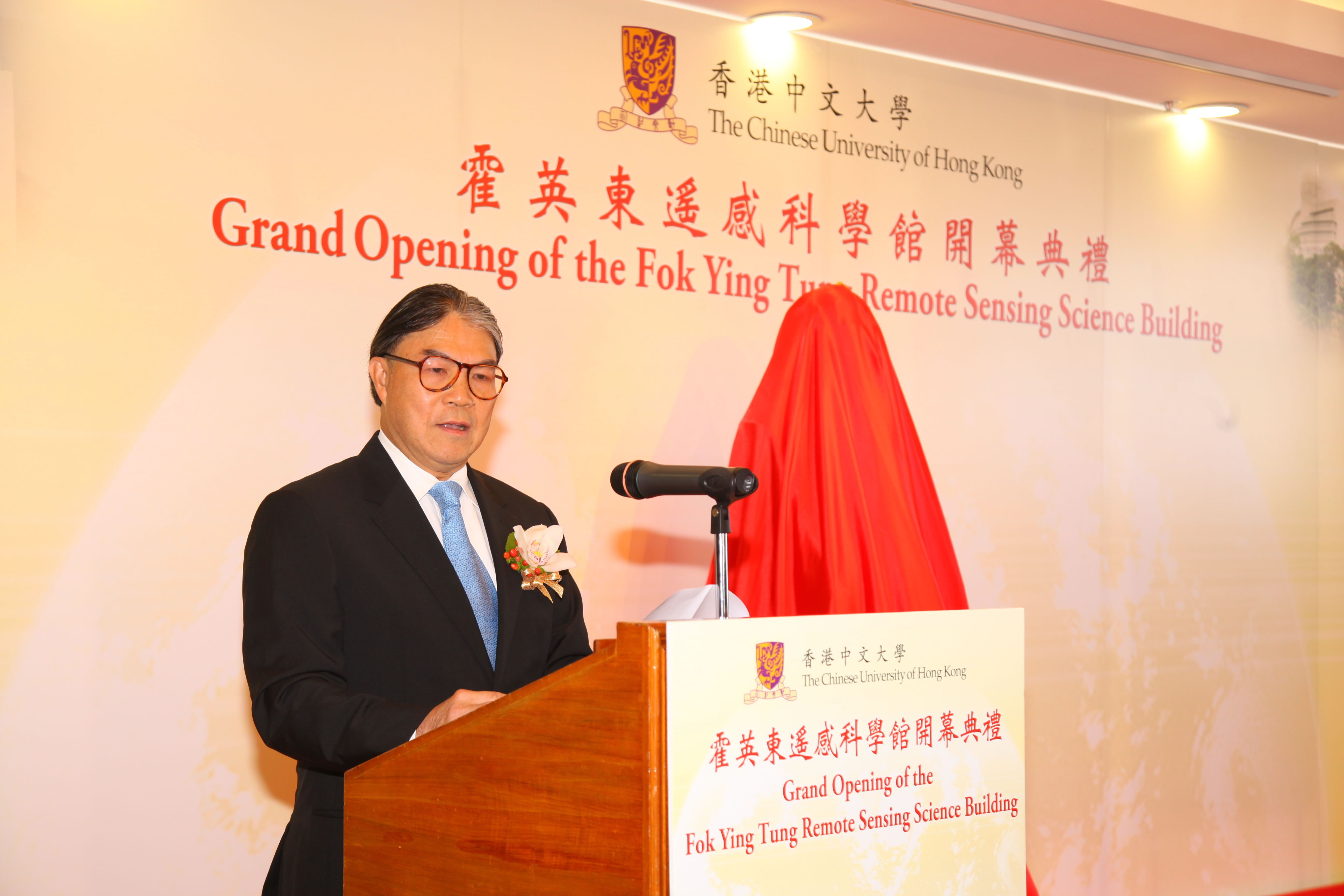
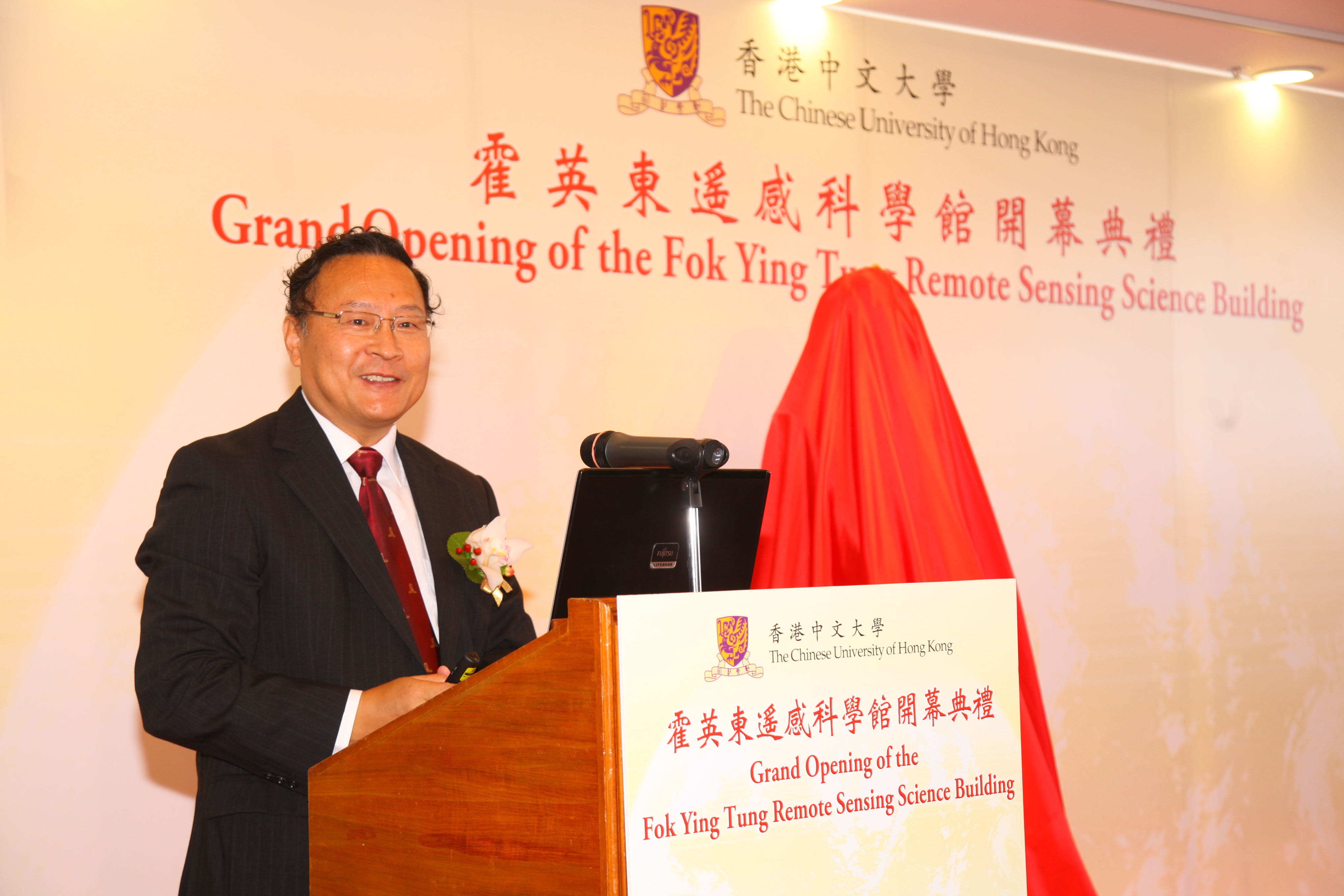
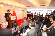
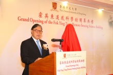
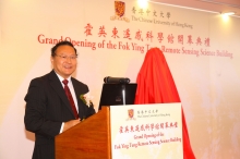
The Chinese University of Hong Kong (CUHK) organized an opening ceremony for the Fok Ying Tung Remote Sensing Science Building today (28 September). The ceremony was officiated by three representatives of the donor, The Honourable Timothy Fok Tsun-ting; Mr Ian Fok Chun-wan; and Mr Benjamin Fok Chun-yue, Directors of the Fok Ying Tung Foundation. Other officiating guests who joined Professor Joseph J.Y. Sung, Vice-Chancellor of CUHK at the ceremony were Dr the Honourable Tung Chee Hwa, Vice-Chairman of the National Committee of the Chinese People’s Political Consultative Conference; Mr Li Gang, Deputy Director of the Liaison Office of the Central People’s Government in the HKSAR; Mr Lu Xinhua, Commissioner of the Ministry of Foreign Affairs of the People’s Republic of China in the HKSAR; and Professor Guo Huadong, Director-General of Center for Earth Observation and Digital Earth, Chinese Academy of Sciences.
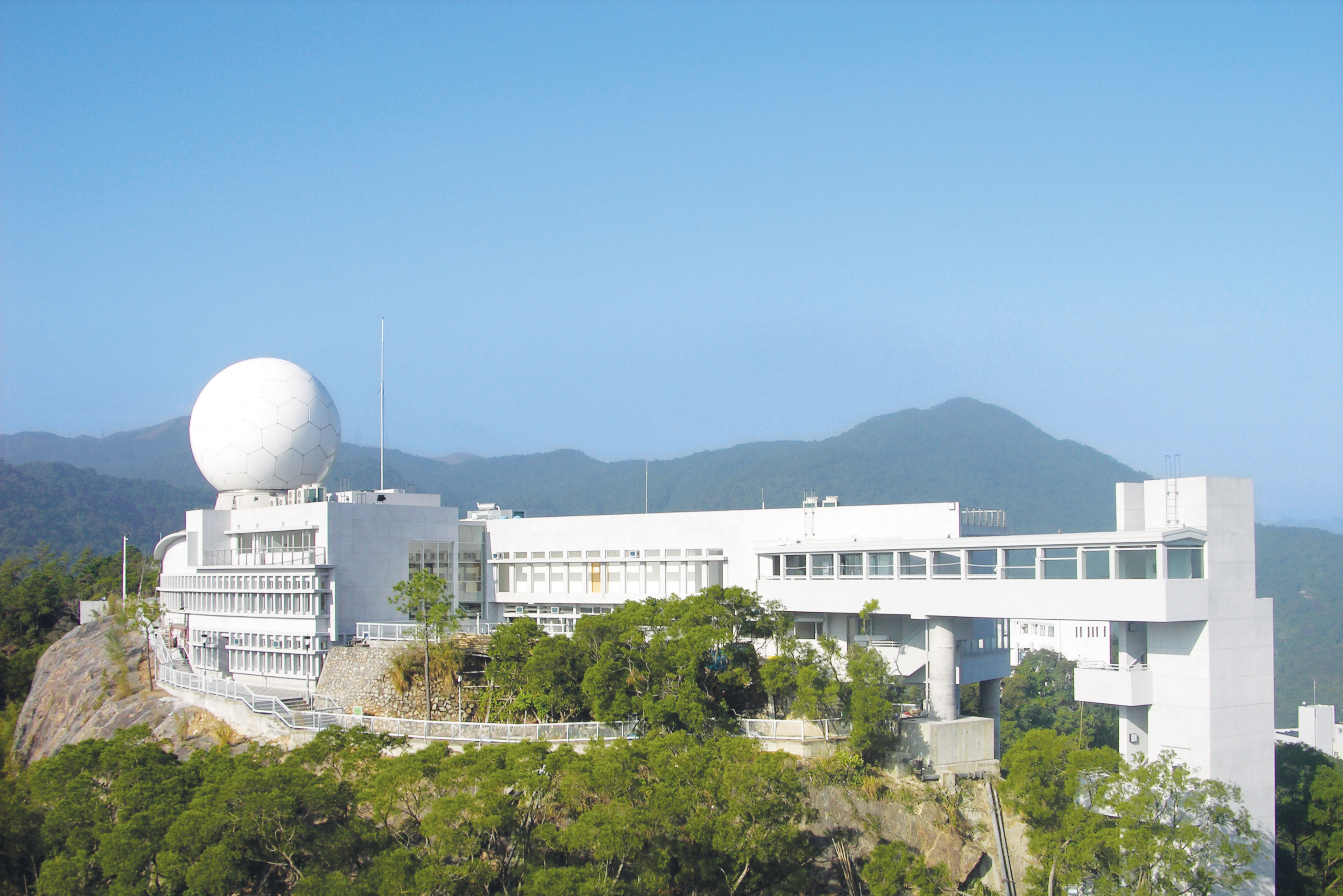
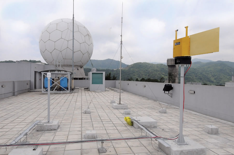
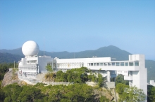
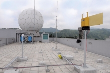
In 2005, the Fok Ying Tung Foundation made a generous donation of HK$40 million to CUHK in support of the construction of the second-phase building of the Satellite Remote Sensing Ground Receiving Station. The building connects to the existing Station established in 2005, serving as a hub for the University’s research in geoinformation and earth sciences. It is also one of the most important satellite remote sensing research facilities in Southern China. Researchers based at the building undertake large-scale studies and monitoring exercises on natural disasters to minimize the damage caused to human lives and the economy.
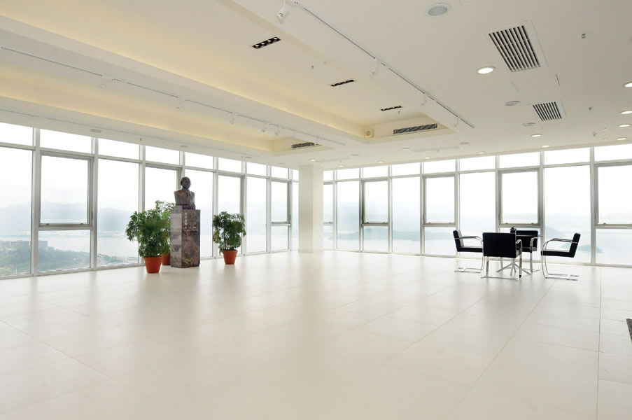
To thank the late Dr Henry Fok Ying Tung and his foundation for their unfailing support, CUHK named the building the Fok Ying Tung Remote Sensing Science Building and unveiled a bust of Dr Henry Fok at today’s ceremony. Professor Joseph Sung said, ‘The Fok Ying Tung Remote Sensing Science Building stands today at the peak on our beautiful campus. To commemorate Dr Henry Fok’s unparalleled achievements and his contributions to the country and to society, the University has decided to erect a bust of Dr Fok inside the building. I hope generations of students will be inspired by this great man and strive to achieve greater heights in scientific research, to serve the community, and fulfil the expectations of the foundation and of society. I am certain that the Fok Ying Tung Remote Sensing Science Building will soon be widely recognized as a top-notch scientific research institute in Hong Kong, on the mainland, and all over the world.’
The Honourable Timothy Fok Tsun-ting, Director of the Fok Ying Tung Foundation, said, ‘The Institute of Space and Earth Information Science of the Chinese University is the only Hong Kong base of the National Remote Sensing Center of China. With outstanding researchers under the capable leadership of the institute’s Director Prof. Lin Hui, I am confident that the Chinese University will realize the wishes of my late father by dedicating itself to research in different areas, such as research on how to monitor and prevent natural disasters, on the exploitation of natural resources, and on the planning of human living environments; and to educating the public on geoinformation and remote sensing sciences.’
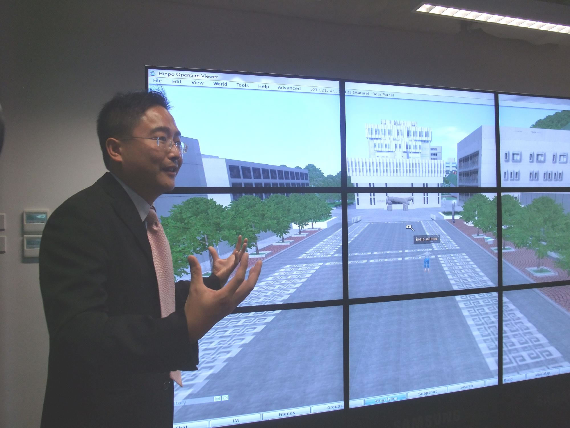
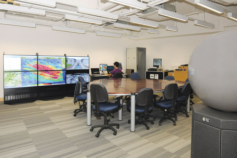
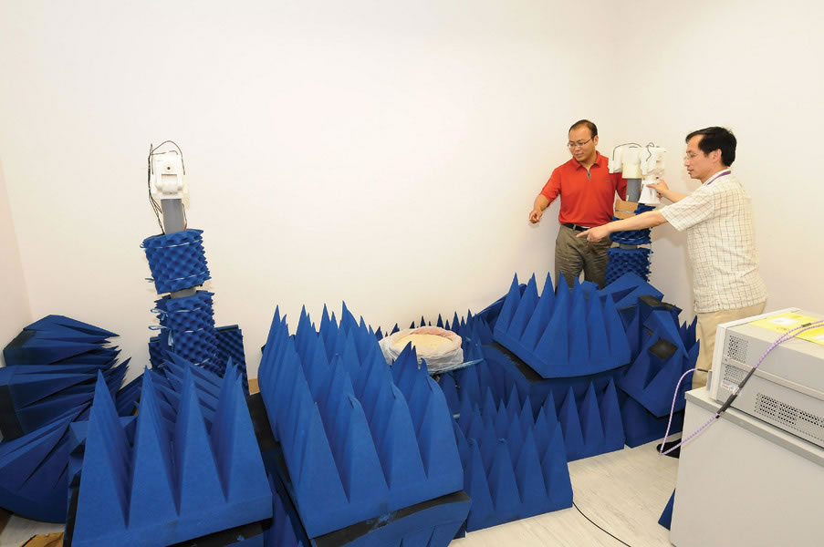
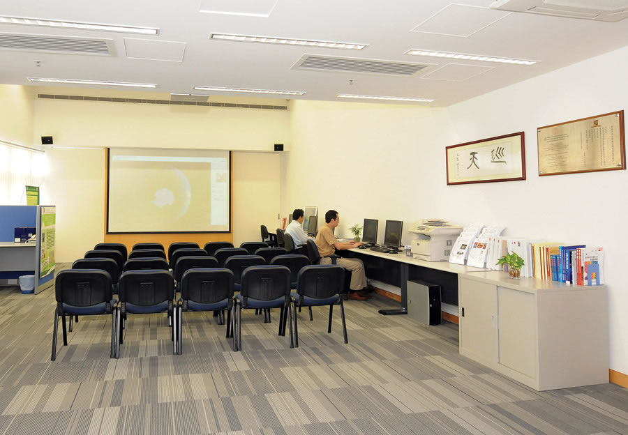
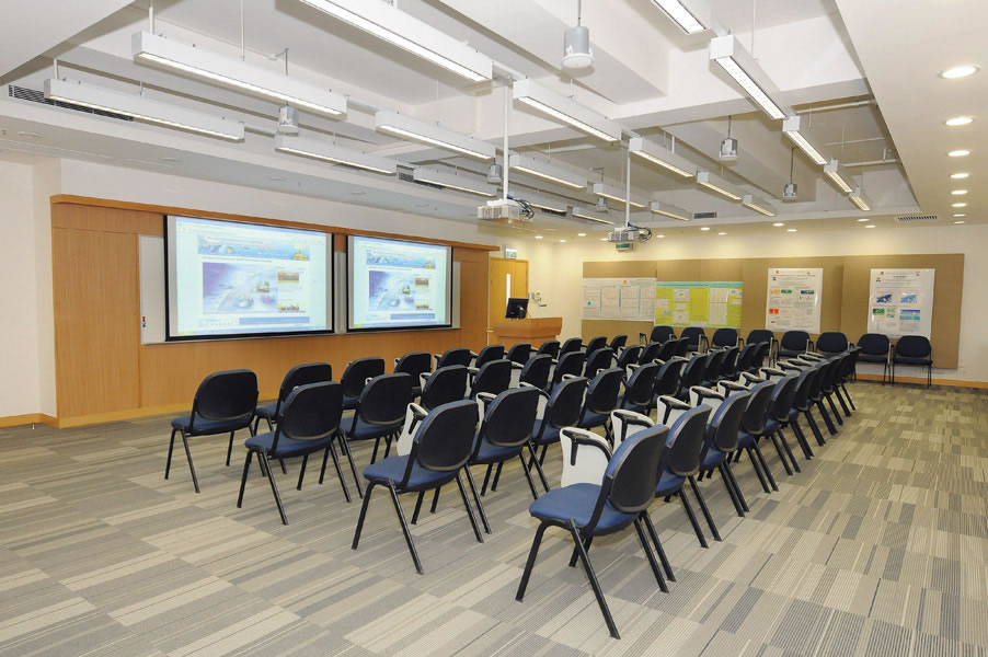
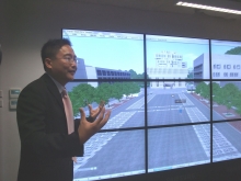
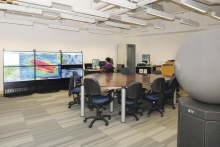
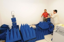
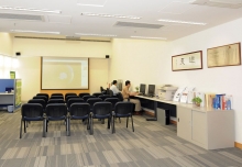
The building marks the apex of the University campus. With a gross floor area of 2,090 sq. m., it houses the control room of the Satellite Remote Sensing Ground Receiving Station, which collects and integrates real-time satellite images and environmental data to compile timely environmental monitoring analysis and reports for focus regions. The building also contains various research laboratories for research programmes on geoinformation and earth system sciences. For example, the Virtual Geographical Environment Laboratory facilitates air pollution and environmental related simulations. In the Microwave Scattering Measurement Laboratory, researchers can measure reactions of substance in response to microwave signal so as to distinguish the corresponding ground features from microwave satellite images. A multifunction room and an exhibition area are also available to facilitate academic exchange.
Geoinformation and earth sciences is one of the five focused areas of research of the Chinese University. In 2005, CUHK established the first and only Hong Kong base of the National Remote Sensing Center of China — the Institute of Space and Earth Information Science (ISEIS). The three major duties of the institute are research, education and training, and technology transfer. It conducts research on diverse topics, namely global climate change, ocean and coastal environment, cloud-prone and rainy areas remote sensing, virtual geographic environments, urban and metropolitan GIS, analysis and modeling of the urban settlement environment, intelligent transport systems, and spatially integrated humanities and social science, and provide scientific solutions to critical global issues, such as climate change, pollution, energy, disaster warning and precision farming, etc. Besides, the Division of GeoInformation Science under the Institute offers MPhil, PhD, taught MSc, and certificate programmes to nurture future experts for the discipline. The institute also promotes technology transfer through scientists of regional and global influence.
ISEIS has been active in providing professional analysis on major natural disasters in the world. These include the Wenchuan earthquake in Sichuan in 2008. After the earthquake struck, ISEIS assessed its impact and shared maps and remote sensing data of the quake-hit areas with the general public via Internet (www.iseis.cuhk.edu.hk/gb/special/sichuan.htm). The institute also collaborates closely with national bodies to provide assistance to relief and reconstruction works in Wenchuan. Besides, in view of the disastrous oil spill in the Gulf of Mexico, ISEIS makes effort at preventing similar incidents from happening in South China Sea by using satellite remote sensing technology to carry out oil pollution monitoring research for the coastal region of Hong Kong and the South China Sea. Analyses are sent to the State Oceanic Administration for immediate follow-up.
Officiating guests unveil a bust of Dr Henry Fok. (From left) Professor Joseph J.Y. Sung, Vice-Chancellor of CUHK; Mr Benjamin Fok Chun-yue, Mr Ian Fok Chun-wan and The Honourable Timothy Fok Tsun-ting, Directors of the Fok Ying Tung Foundation; Dr the Honourable Tung Chee Hwa, Vice-Chairman of the National Committee of the Chinese People’s Political Consultative Conference; Mr Li Gang, Deputy Director of the Liaison Office of the Central People’s Government in the HKSAR; Mr Lu Xinhua, Commissioner of the Ministry of Foreign Affairs of the People’s Republic of China in the HKSAR; Professor Guo Huadong, Director-General of Center for Earth Observation and Digital Earth, Chinese Academy of Sciences; and Prof. Lin Hui, Director of ISEIS
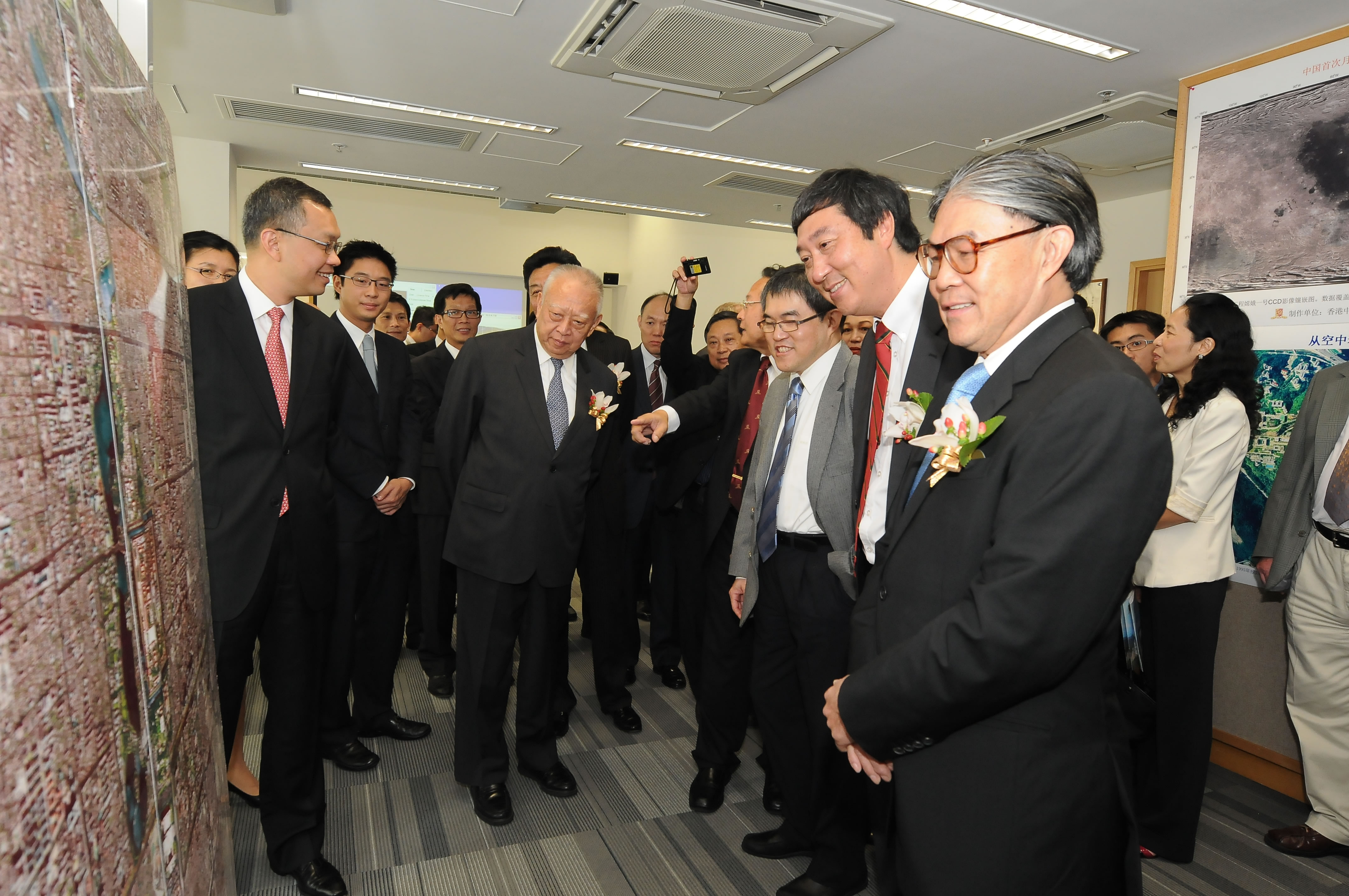
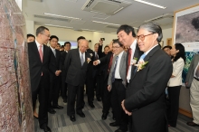
Officiating guests learn about the research projects conducted by researchers based at the Fok Ying Tung Remote Sensing Science Building
Fok Ying Tung Remote Sensing Science Building connects to the existing Satellite Remote Sensing Ground Receiving Station, serving as a hub for the University’s research in geoinformation and earth sciences. It is also one of the most important satellite remote sensing research facilities in Southern China


