CUHK
News Centre
CUHK Professor to Lead Chinese Team in the Sino-European Dragon 3 Programme for Monitoring Cryosphere Dynamics in Tibetan Plateau
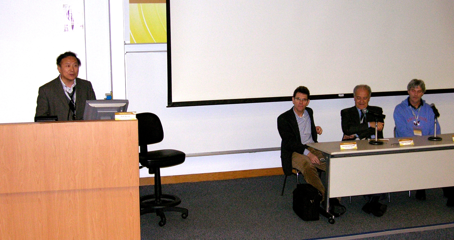
The Synthetic Aperture Radar Interferometry (InSAR) research group led by Prof. Lin Hui of the Institute of Space and Earth Information Science (ISEIS) at The Chinese University of Hong Kong (CUHK) has recently won a research grant from Dragon 3 Programme (2012-2016). The winning project, ‘Monitoring Cryosphere Dynamics in Tibetan Plateau with Integrated Earth Observations’, focuses on cryosphere dynamics in the Tibetan Plateau by the synergistic use of microwave and optical earth observations as well as ground measurements. The interaction between glacier, permafrost and plateau lake dynamics will be explored through methodology development and Virtual Geographic Environment (VGE) system integration.
Launched in 2004, the Dragon Programme is a joint effort between the National Remote Sensing Center of China (NRSCC) under the Ministry of Science and Technology of China (MOST) and European Space Agency (ESA). It is dedicated to research and application development, technology training, scholar exchange and data sharing in the field of earth observation (EO). The Dragon Programme provides opportunities for scientists from China and Europe to cooperate in the exploitation of EO data of China, ESA and Third Party Mission (TPM). The Programme is running the third round and the approved projects will begin in July 2012.
The research team led by Professor Lin comprises members from four institutes/universities in China (CUHK; Institute of Geodesy and Geophysics, CAS; Center for Earth Observation and Digital Earth, CAS; Cold and Arid Regions Environmental and Engineering Research Institute, CAS) and three in Europe (Technical University of Munich, Germany; Delft University of Technology, Netherlands; German Aerospace Center, Germany). The principal investigators and co-investigators have abundant experience and expertise in remote sensing, GIS, multivariate data analysis/geostatistics, geodesy and earth observation, hydrogeology and crysophere. Anticipated results and deliverables of the project include remote sensing methodologies development as well as data exploitation and VGE integration, which are beneficial to global climate change research and regional sustainable development, e.g. water balance estimation and safety operation of engineering structures.
ISEIS, the Hong Kong base of NRSCC, has been undertaking several national research projects including environmental remote sensing of South China Sea and the Pearl River Delta (PRD) region. ISEIS has also successfully organized academic exchange programmes, promoted cooperation among remote sensing scholars in the PRD region and participated in key international research projects.
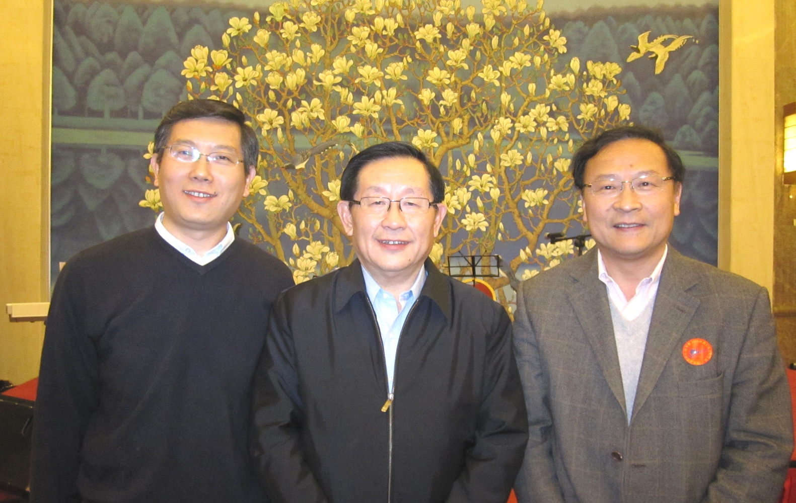
Minister Wan Gan of MOST (middle) meets with Prof. Lin Hui, Director of ISEIS (right) and Prof. Huang Bo, Deputy Director of ISEIS, in the 30th anniversary ceremony of NRSCC.


