Events
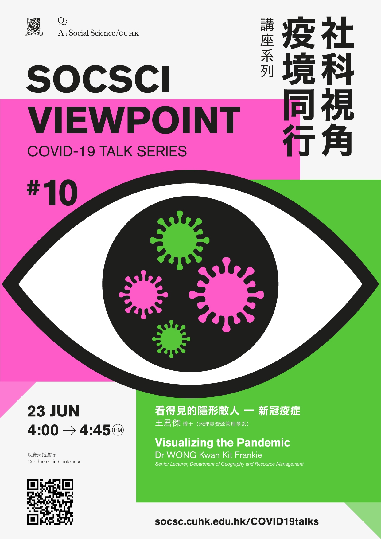
SocSci Viewpoint – Covid-19 Talk Series: Visualizing the Pandemic
23 Jun 2020
4:00-4:45pm
The talk will be conducted via the video conferencing platform "Zoom"
Dr WONG Kwan Kit FrankieSenior Lecturer, Department of Geography and Resource Management
For Enquiry, please contact Faculty Office of Social Science, The Chinese University of Hong Kong at fssc05@cuhk.edu.hk
Geographers use maps to learn about distribution and pattern of any kind of space-and-time phenomenon. The spread of COVID-19 showcases how maps are used to visualize the pandemic in different parts of the world. In everyday news, you might have seen some of them and what about those you don’t? Have you wondered where do they come from? How do we make use of them? What is the role of maps in this pandemic? The talk is going to tell the story about maps and the importance of maps to help us understand the pandemic.
Language: Cantonese
Registration will close 3 days prior to each talk and it is on a first come, first served basis. Zoom meeting ID and password will be provided via email to successful registrants at least one day before the event.


